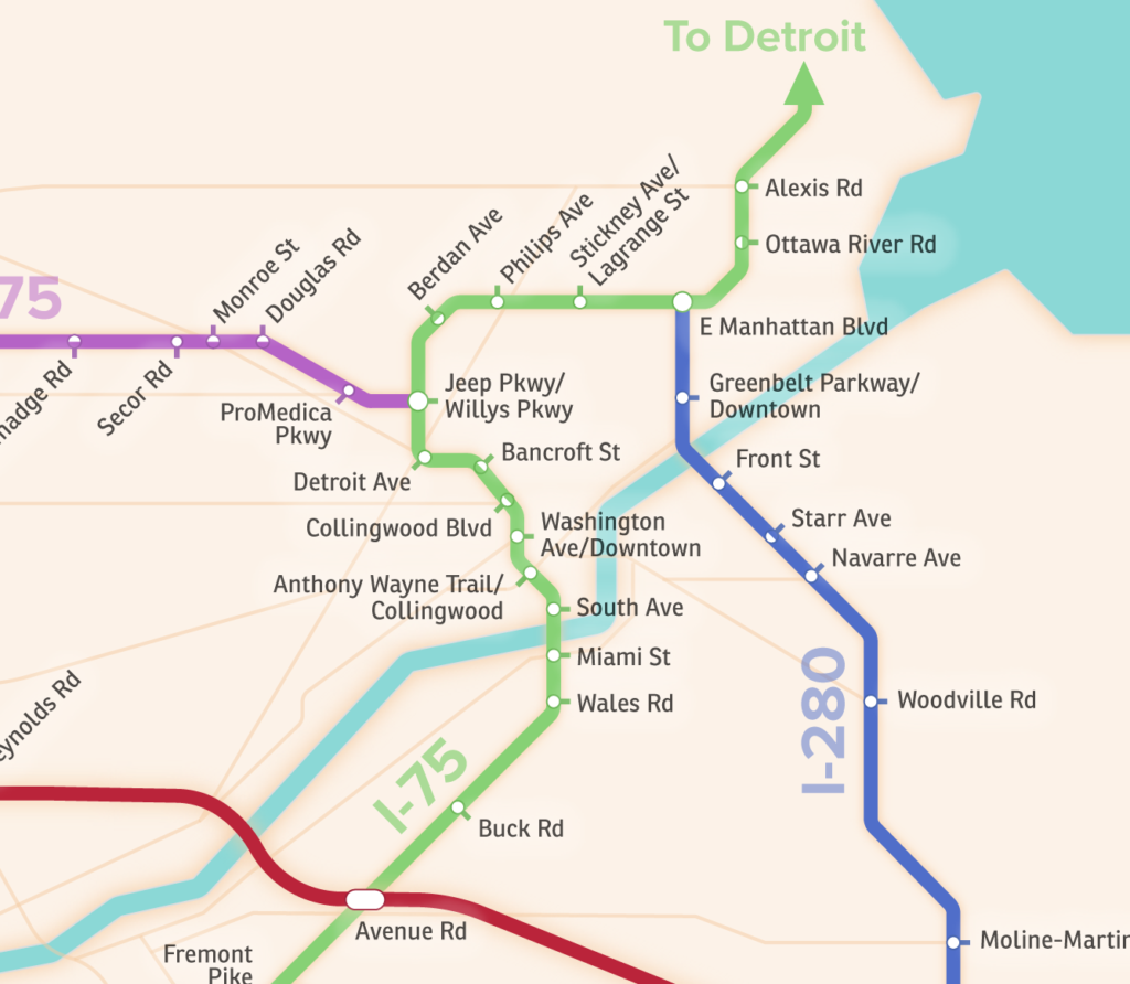
I’ve always had this dumb idea that Toledo needs a subway system. Not because I want to ride it, or I think it’s a good idea for Toledo economically, but so I can draw a map of it. I’ve actually tried a couple of times, but the idea is so remote and absurd that it’s hard to know where to start.
Yesterday while driving back from lunch with a friend, I started thinking about the exits on I-475. I thought, those are kind of like subway stops, and it got me to thinking about the subway project again. So here it is.

It’s probably of very little value, but I had a lot of fun doing it and I learned some new Illustrator skills. Big thanks to Cameron Booth for inspiration, and for the Illustrator tutorials.
2 Responses to “Toledo’s Highways as a Subway Map”
MDE427
Great job …. love it! I have always wished Toledo had a subway or El system!
dave
Glad you like it! If you are interested, prints are available on Society6: https://society6.com/product/toledo-highways-subway-map_print#s6-2206760p4a1v45